
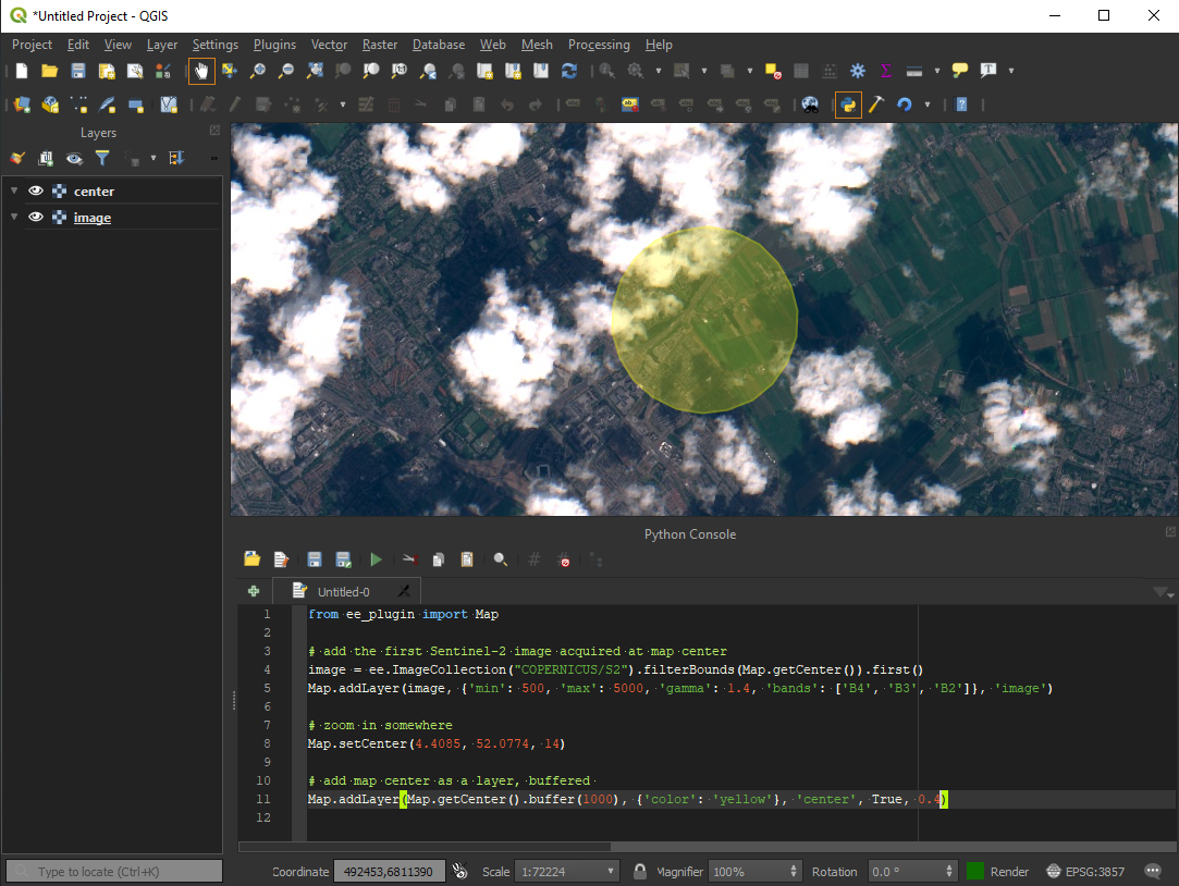
Integrates Google Earth Engine with QGIS using Python API.
Check User Guide to get started or ask general questions and comments in the Discussion section.
Q: I am getting authentication errors, what can I do?
A: Try installing the Google Earth Engine command line client. Run the earthengine authenticate command. This resets the authentication credentials and solves most authentication errors.
Q: Are you through a proxy?
A: In your scripts, configure proxy settings on top of them:
import os
os.environ['HTTP_PROXY'] = 'http://[username:password@]<ip_address_or_domain>:<port>'
os.environ['HTTPS_PROXY'] = 'http://[username:password@]<ip_address_or_domain>:<port>'

import ee
from ee_plugin import Map
Q: I am getting error like ssl.SSLError: [SSL: CERTIFICATE_VERIFY_FAILED] certificate verify failed on MacOS:
A: Open Finder and double clicking on this file /Applications/Python 3.6/Install Certificates.command. This path may vary depending on how QGIS was installed (Homebrew, macports, native). Then restart QGIS.
Q: Plugin crashes after authentication with a stack trace showing 404, what should I do?
A: Go to http://code.earthengine.google.com and make sure you can access code editor. If the plugin is still failing - make sure your IP is not under firewall.
- Create a new QGIS plugin skeleton
- Migrate to QGIS3
- Embed GEE Python library
- Implement Map.addLayer() for ee.Image
- Implement Map.addLayer() for ee.Geometry, ee.Feature and ee.FeatureCollection
- Implement Map.centerObject()
- Implement Map.getBounds()
- Implement Map.getCenter()
- Implement Map.setCenter()
- Implement Map.getScale()
- Implement Map.getZoom()
- Implement Map.setZoom()
- Upload to QGIS plugin repository: https://plugins.qgis.org/plugins/ - approved!
- Upgrade EE library to 0.1.224 (Windows, Linux, maxOS)
- EE raster layer inspector
- Show some useful EE properties (bands, value types) in QGIS layer properties dialog
- Fix GEE url authentication function if the credentials is not exists #63
- Fix crash if the authentication dialog is cancelled or not filled by the user
- Init the Google Earth Engine user authorization system only when the user is going to use the plugin
- Fixed the authentication dialog when the url shortener doesn't work by any reason #66
- Fix loading extra python dependencies to the plugin, fix #62
- Minor bugfix release (EE authentication)
- Minor bugfix release (EE library upgrade)
- Added support for QGIS 3.22+ (fix identify tool)
- Improve authentication (UI and error handling)
- Simplify interpoerability of features/geometry between EE and QGIS
- Add layer as a child layer to the group layer #101
- EE vector layer inspector
- EE raster collection layer inspector
- Make print(ee_object) more user-friendly, without requiring getInfo(), maybe async
- Get Link and Open Script
- Skip import ee and from ee_plugin import Map for EE scripts ...
- Export.* and Tasks panel (start, cancel, info)
- Map.layers() for EE layers, allowing to use things like ui.Map.Layer.setEeObject()
- ui.Chart.*
- require()
- Faster identify tool, using local cached rasters
- Add support for Data Catalog, allowing adding assets without the need to write scripts (select time, styling)
- Custom EE scripts as Processing algorithms, so that users can use it within Graphical Modeller
- Fetch (cache?) raster assets locally (EE > QGIS), for a given rectangle / CRS, as a Processing tool
- Export vector and raster data (QGIS > EE) either via Tasks or some other way
- Use QGIS vector/raster style editors to edit EE layer styles


